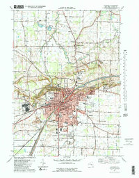
1980 Map of Lockport
USGS Topo · Published 1980About this map
The Erie Canal anchors this 1980 study of Lockport, cutting through the heart of the city and defining the industrial and civic landscape. The map captures the city at a point of modernization, where traditional centers like the Courthouse and the County Fairgrounds coexist with suburban developments such as Nottingham Estates and Carlisle Gardens. The complex hydrology of the region is evident, with Eighteenmile Creek and its East Branch winding through northern farmlands toward Wrights Corners.
Find a feature on this map
70 named features on this map. Tap any name to fly to it.
Don’t see what you’re looking for? This feature index may not catch every label — zoom into the map to look around manually.
Map Details
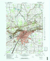
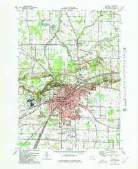
Editions of this 1980 Lockport Map
3 editions found
Other maps of this area

1894 · Wilson
USGS Topo · 1:62,500

1897 · Tonawanda
USGS Topo · 1:62,500

1897 · Olcott
USGS Topo · 1:62,500

1897 · Lockport
USGS Topo · 1:62,500

1899 · Niagara
USGS Topo · 1:125,000

1900 · Wilson
USGS Topo · 1:62,500

1900 · Tonawanda
USGS Topo · 1:62,500

1901 · Tonawanda
USGS Topo · 1:62,500

1902 · Lockport
USGS Topo · 1:62,500

1905 · Lockport
USGS Topo · 1:62,500