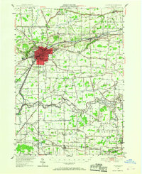
1948 Map of Lockport
USGS Topo · Published 1967About this map
The city of Lockport serves as the industrial and transit hub of this Western New York landscape, where the Erie Canal cuts through the Niagara Escarpment. In the years following World War II, the area surrounding the city shows a mix of established agriculture and emerging suburban pockets like Carlisle Gardens and Shooktown. The canal's infrastructure remains a dominant feature, including the Sulphur Springs Guard Lock and the connection to the International Canal.
Find a feature on this map
95 named features on this map. Tap any name to fly to it.
Don’t see what you’re looking for? This feature index may not catch every label — zoom into the map to look around manually.
Map Details
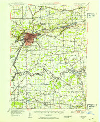
Editions of this 1948 Lockport Map
3 editions found

Other maps of this area

1894 · Buffalo
USGS Topo · 1:62,500

1894 · Wilson
USGS Topo · 1:62,500

1897 · Tonawanda
USGS Topo · 1:62,500

1897 · Olcott
USGS Topo · 1:62,500

1897 · Medina
USGS Topo · 1:62,500

1897 · Lockport
USGS Topo · 1:62,500

1897 · Ridgeway
USGS Topo · 1:62,500

1899 · Niagara
USGS Topo · 1:125,000

1900 · Wilson
USGS Topo · 1:62,500

1900 · Tonawanda
USGS Topo · 1:62,500