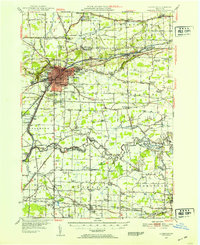
1948 Map of Lockport
USGS Topo · Published 1953About this map
The industrial and transport core of Niagara County is anchored by the Lockport urban center, where the Erie Canal makes its dramatic passage through the limestone escarpment. This postwar era survey shows a landscape defined by the intersection of major waterways and the New York Central Railroad, which spurred the development of surrounding hamlets like Gasport and Reynales Basin. To the south, the terrain transitions into the fertile lowlands drained by Tonawanda Creek and Mud Creek, where small agrarian settlements such as Wolcottsville and Rapids thrived.
Find a feature on this map
95 named features on this map. Tap any name to fly to it.
Don’t see what you’re looking for? This feature index may not catch every label — zoom into the map to look around manually.
Map Details
Editions of this 1948 Lockport Map
3 editions found

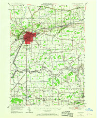
Other maps of this area

1894 · Buffalo
USGS Topo · 1:62,500

1894 · Wilson
USGS Topo · 1:62,500

1897 · Tonawanda
USGS Topo · 1:62,500

1897 · Olcott
USGS Topo · 1:62,500

1897 · Medina
USGS Topo · 1:62,500

1897 · Lockport
USGS Topo · 1:62,500

1897 · Ridgeway
USGS Topo · 1:62,500

1899 · Niagara
USGS Topo · 1:125,000

1900 · Wilson
USGS Topo · 1:62,500

1900 · Tonawanda
USGS Topo · 1:62,500