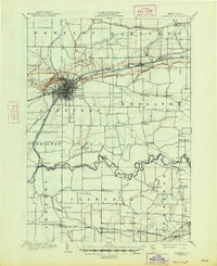
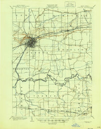
1902 Map of Lockport
USGS Topo · Published 1947About this map
Lockport serves as the industrial and transportation nexus of this region, defined by the convergence of the Barge Canal and several rail lines at the turn of the century. The map illustrates a landscape transitioned by water and steam, where the canal cuts through the center of the city before heading southwest past Pendleton. The detailed street grid of the city stands in sharp contrast to the surrounding agricultural townships like Royalton and Clarence.
Find a feature on this map
52 named features on this map. Tap any name to fly to it.
Don’t see what you’re looking for? This feature index may not catch every label — zoom into the map to look around manually.
Map Details
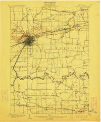
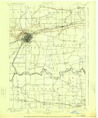
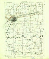
Editions of this 1902 Lockport Map
6 editions found

Other maps of this area

1894 · Buffalo
USGS Topo · 1:62,500

1894 · Wilson
USGS Topo · 1:62,500

1897 · Tonawanda
USGS Topo · 1:62,500

1897 · Olcott
USGS Topo · 1:62,500

1897 · Medina
USGS Topo · 1:62,500

1897 · Lockport
USGS Topo · 1:62,500

1897 · Ridgeway
USGS Topo · 1:62,500

1899 · Niagara
USGS Topo · 1:125,000

1900 · Wilson
USGS Topo · 1:62,500

1900 · Tonawanda
USGS Topo · 1:62,500