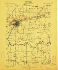
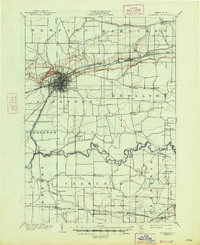
1902 Map of Lockport
USGS Topo · Published 1912About this map
Lockport serves as the industrial and logistical hub of this turn-of-the-century landscape, where the Erie Canal and multiple rail lines converge. The map documents a critical era for Western New York transportation, showing the New York Central and Hudson River and the Electric R. R. cutting through the countryside to connect settlements like Gasport and Orangeport. To the north, the Ridge Road follows the natural glacial elevation, while the southern reaches are defined by the winding course of Tonawanda Creek and its many tributaries, including Beeman Creek and Mud Creek.
Find a feature on this map
55 named features on this map. Tap any name to fly to it.
Don’t see what you’re looking for? This feature index may not catch every label — zoom into the map to look around manually.
Map Details
Editions of this 1902 Lockport Map
6 editions found

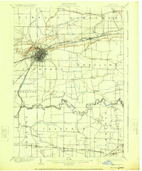
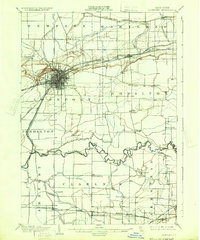
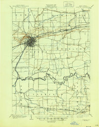
Other maps of this area

1894 · Buffalo
USGS Topo · 1:62,500

1894 · Wilson
USGS Topo · 1:62,500

1897 · Tonawanda
USGS Topo · 1:62,500

1897 · Olcott
USGS Topo · 1:62,500

1897 · Medina
USGS Topo · 1:62,500

1897 · Lockport
USGS Topo · 1:62,500

1897 · Ridgeway
USGS Topo · 1:62,500

1899 · Niagara
USGS Topo · 1:125,000

1900 · Wilson
USGS Topo · 1:62,500

1900 · Tonawanda
USGS Topo · 1:62,500