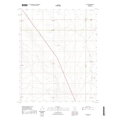
2020 Map of Loco Draw
USGS Topo · Published 2020About this map
Loco Draw carves through the high desert landscape at the convergence of Lincoln, Guadalupe, and De Baca counties. This 2020 survey documents a ranching environment defined by critical water infrastructure, where scattered features like Little North Tank, Fain Tank, and Meadow Pasture Tanks support livestock across the open range. The drainage of Barrel Lake sits in the northern reaches, emphasizing the importance of these rare catchments in an arid climate.
Find a feature on this map
23 named features on this map. Tap any name to fly to it.
Don’t see what you’re looking for? This feature index may not catch every label — zoom into the map to look around manually.
Map Details
Editions of this 2020 Loco Draw Map
This is the sole edition of this map. No revisions or reprints were ever made.
Other maps of this area

1954 · Fort Sumner
USGS Topo · 1:250,000

1958 · Fort Sumner
USGS Topo · 1:250,000

1967 · Ramon
USGS Topo · 1:24,000

1967 · Wright Ranch
USGS Topo · 1:24,000

1979 · Fort Sumner
USGS Topo · 1:100,000

1980 · Corona
USGS Topo · 1:100,000

1981 · Loco Draw
USGS Topo · 1:24,000

1981 · Cowboy Mesa NE
USGS Topo · 1:24,000

1981 · Gacho Hill SE
USGS Topo · 1:24,000

1981 · Yeso Mesa
USGS Topo · 1:24,000