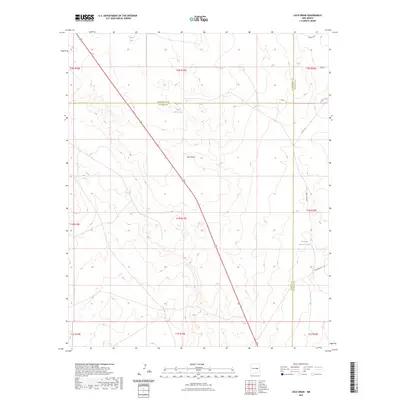
2023 Map of Loco Draw
USGS Topo · Published 2023About this map
Loco Draw defines the central topography of this high-desert landscape where three counties—Lincoln, Guadalupe, and De Baca—converge. The area is characterized by scattered livestock infrastructure and seasonal water sources, serving as a functional record of ranching life in this corner of New Mexico. Named water features like Barrel Lake, Little North Tank, and Fain Tank indicate the vital importance of water management in an arid environment. A network of rural roads, including Loma Vista Rd and S Border Rd, provides access across the township lines and through the basin of the draw. This U.S. Geological Survey representation documents the modern arrangement of property boundaries and local transit ways in a sparsely populated region defined more by its natural drainage patterns than by concentrated urban development.
Find a feature on this map
23 named features on this map. Tap any name to fly to it.
Don’t see what you’re looking for? This feature index may not catch every label — zoom into the map to look around manually.
Map Details
Editions of this 2023 Loco Draw Map
This is the sole edition of this map. No revisions or reprints were ever made.
Other maps of this area

1954 · Fort Sumner
USGS Topo · 1:250,000

1958 · Fort Sumner
USGS Topo · 1:250,000

1967 · Ramon
USGS Topo · 1:24,000

1967 · Wright Ranch
USGS Topo · 1:24,000

1979 · Fort Sumner
USGS Topo · 1:100,000

1980 · Corona
USGS Topo · 1:100,000

1981 · Loco Draw
USGS Topo · 1:24,000

1981 · Cowboy Mesa NE
USGS Topo · 1:24,000

1981 · Gacho Hill SE
USGS Topo · 1:24,000

1981 · Yeso Mesa
USGS Topo · 1:24,000