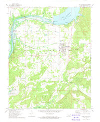
1972 Map of Locust Grove
USGS Topo · Published 1974About this map
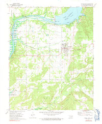
Locust Grove serves as the primary hub on this early 1970s survey, situated where the terrain transitions toward the Chouteau Hills. The landscape is defined by significant water management and industrial infrastructure, most notably the Robert S Kerr Dam impounding the Neosho River to form Lake Hudson. The map documents a complex network of utility and transport history, from the Mid-America Industrial District and several substations to remnant transportation corridors like the Old Railroad Grade. For genealogists, the sheet is exceptionally detailed, locating several family-named and community burial sites such as Hogan Cem, Bryan Cem, and Haner Cem, along with rural congregations like Open Door Ch and Markham Ferry Ch. The southern portion of the quadrangle shows the winding course of Spring Creek and Snake Creek as they flow toward Fort Gibson Lake.
Find a feature on this map
45 named features on this map. Tap any name to fly to it.
Don’t see what you’re looking for? This feature index may not catch every label — zoom into the map to look around manually.
Map Details
Editions of this 1972 Locust Grove Map
2 editions found
Other maps of this area

1896 · Pryor
USGS Topo · 1:125,000

1901 · Pryor
USGS Topo · 1:125,000

1954 · Tulsa
USGS Topo · 1:250,000

1958 · Tulsa
USGS Topo · 1:250,000

1963 · Tulsa
USGS Topo · 1:250,000
1970 · Chouteau
USGS Topo · 1:24,000
1970 · Rocky Point
USGS Topo · 1:24,000
1970 · Pryor
USGS Topo · 1:24,000
1971 · Salina
USGS Topo · 1:24,000
1971 · Salina SE
USGS Topo · 1:24,000