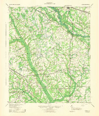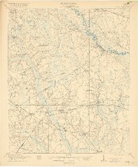
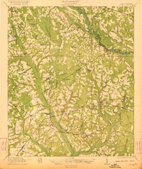
1921 Map of Lodge
USGS Topo · Published 1921About this map
The Edisto River and Little Salkehatchie River define the watery geography of this South Carolina lowcountry landscape at the dawn of the 1920s. A dense network of community landmarks provides significant detail for local historians, from the McIlhenny School near the Charleston and Augusta Road to rural congregations like Hunters Chapel and Zion Church. The era's transportation infrastructure is clearly delineated by the Atlantic Coast Line and Southern RR, which facilitated the region's agricultural and timber movement. Unique topographical features such as Tony Hill Bay and Schofield Swamp illustrate the complex drainage patterns of the area. This survey reveals a landscape where crossroads like Smoaks and Lodge served as vital hubs for a dispersed population, supported by numerous local institutions including the Strickland School and Beulah Church.
Find a feature on this map
65 named features on this map. Tap any name to fly to it.
Don’t see what you’re looking for? This feature index may not catch every label — zoom into the map to look around manually.
Map Details
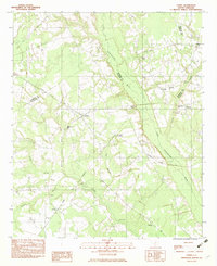
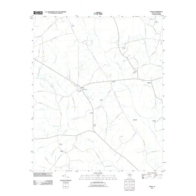
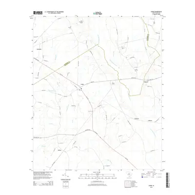
Editions of this 1921 Lodge Map
3 editions found
Historical Maps of Branchville Through Time
10 maps found