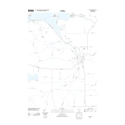
2013 Map of Lodi
USGS Topo · Published 2013About this map
Lake Wisconsin and the winding course of Spring Cr define the landscape of this Columbia County region. The city of Lodi serves as the primary hub, where local routes like State Road 113 and State Road 60 converge. The terrain is marked by significant elevations such as Gibraltar Rock and the water-rich areas around Crystal Lake and Lantz Pond. A notable corridor for recreation is the Ice Age Natl Scenic Trl, which meanders through the countryside near the small communities of Okee and Harmony Grove. To the northwest, the Ferry Crossing at Merrimac indicates a long-standing transit point across the water. This 2013 survey illustrates the balance between agricultural land, managed aviation at the Lodi Lakeland Airport, and the preservation of geological landmarks.
Find a feature on this map
73 named features on this map. Tap any name to fly to it.
Don’t see what you’re looking for? This feature index may not catch every label — zoom into the map to look around manually.
Map Details
Editions of this 2013 Lodi Map
This is the sole edition of this map. No revisions or reprints were ever made.
Other maps of this area

1890 · Madison
USGS Topo · 1:62,500

1892 · Madison
USGS Topo · 1:62,500

1895 · Baraboo
USGS Topo · 1:62,500

1901 · Poynette
USGS Topo · 1:62,500

1904 · Madison
USGS Topo · 1:62,500

1906 · Madison
USGS Topo · 1:62,500

1907 · Cross Plains
USGS Topo · 1:62,500

1908 · Baraboo
USGS Topo · 1:62,500

1909 · Cross Plains
USGS Topo · 1:62,500

1957 · Madison
USGS Topo · 1:250,000