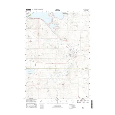
2016 Map of Lodi
USGS Topo · Published 2016About this map
Lodi sits at the heart of this landscape, where the waters of Spring Creek wind through the city before emptying into the southeastern reaches of Lake Wisconsin. The map illustrates a diverse geography, from the lowlands of Lodi Marsh to the prominent heights of Gibraltar Rock and Pine Bluff. Residential growth is evident in the lakeside communities of Harmony Grove and Okee, while the rural surroundings are dotted with local landmarks like Lodi Lakeland Airport. Genealogists will find several burial sites recorded, including Mount Pleasant Cem and Saint Patricks Cem. The northern edge of the map features the Merrimac Ferry crossing, a vital link across the water. This 2016 survey also captures the border between Columbia and Dane counties, showing how modern roads like Co Rd V and Co Rd J connect these varied terrains.
Find a feature on this map
87 named features on this map. Tap any name to fly to it.
Don’t see what you’re looking for? This feature index may not catch every label — zoom into the map to look around manually.
Map Details
Editions of this 2016 Lodi Map
This is the sole edition of this map. No revisions or reprints were ever made.
Other maps of this area

1890 · Madison
USGS Topo · 1:62,500

1892 · Madison
USGS Topo · 1:62,500

1895 · Baraboo
USGS Topo · 1:62,500

1901 · Poynette
USGS Topo · 1:62,500

1904 · Madison
USGS Topo · 1:62,500

1906 · Madison
USGS Topo · 1:62,500

1907 · Cross Plains
USGS Topo · 1:62,500

1908 · Baraboo
USGS Topo · 1:62,500

1909 · Cross Plains
USGS Topo · 1:62,500

1957 · Madison
USGS Topo · 1:250,000