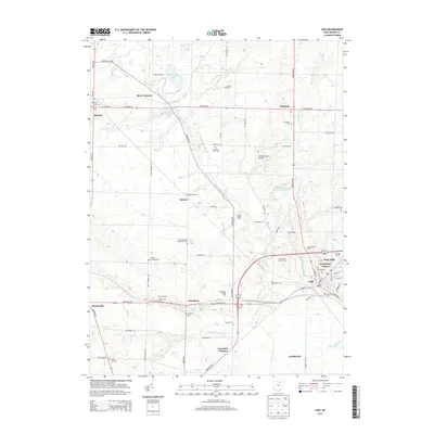
2013 Map of Lodi
USGS Topo · Published 2013About this map
Lodi and Spencer anchor this portion of Medina County, where a dense network of family farms and cemeteries illustrates the agricultural heritage of the region. The landscape is defined by the winding course of the East Branch Black River and Spencer Lake, with smaller drainages like Coon Cr and Clear Cr feeding into the river system. Genealogists can identify numerous local burial grounds including the Spencer Cem, Chatham Cem, and the SIMCOX RD Vanderhoef Cem. Beyond the primary villages, small settlements and named agricultural operations such as Aungst Hog Farm and Richman Farms appear alongside more modern additions like the Soaring Horse Airport and the residential corridors of Evergreen Estates. The layout of local thoroughfares like Avon Lake Rd and Greenwich Rd connects these scattered farmsteads and rural communities, preserving a record of land use in north-central Ohio during the early 21st century.
Find a feature on this map
73 named features on this map. Tap any name to fly to it.
Don’t see what you’re looking for? This feature index may not catch every label — zoom into the map to look around manually.
Map Details
Editions of this 2013 Lodi Map
This is the sole edition of this map. No revisions or reprints were ever made.
Other maps of this area

1901 · Wooster
USGS Topo · 1:62,500

1903 · Wooster
USGS Topo · 1:62,500

1904 · Medina
USGS Topo · 1:62,500

1904 · Wellington
USGS Topo · 1:62,500

1906 · Medina
USGS Topo · 1:62,500

1906 · Wellington
USGS Topo · 1:62,500

1906 · West Salem
USGS Topo · 1:62,500

1908 · West Salem
USGS Topo · 1:62,500

1950 · Cleveland
USGS Topo · 1:250,000

1950 · Marion
USGS Topo · 1:250,000