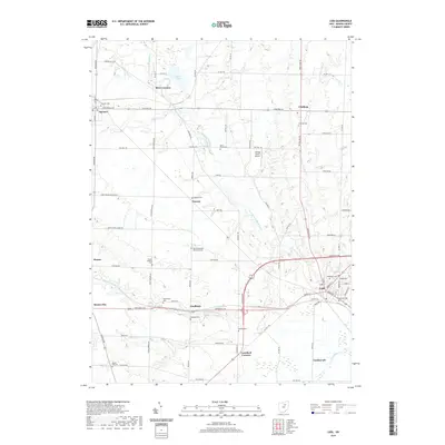
2019 Map of Lodi
USGS Topo · Published 2019About this map
Lodi and the surrounding agricultural landscape of Medina County are defined by the winding course of the East Branch Black River and its numerous tributaries. This modern survey illustrates a network of rural settlements, including Homerville, Chatham, and Spencer, connected by historic corridors like Avon Lake Rd and Greenwich Rd. The map is particularly rich in genealogical data, preserving the locations of numerous burial grounds such as Woodlawn Cem, the Old Lodi Cem, and the Homer Lutheran Cem.
Find a feature on this map
56 named features on this map. Tap any name to fly to it.
Don’t see what you’re looking for? This feature index may not catch every label — zoom into the map to look around manually.
Map Details
Editions of this 2019 Lodi Map
This is the sole edition of this map. No revisions or reprints were ever made.
Other maps of this area

1901 · Wooster
USGS Topo · 1:62,500

1903 · Wooster
USGS Topo · 1:62,500

1904 · Medina
USGS Topo · 1:62,500

1904 · Wellington
USGS Topo · 1:62,500

1906 · Medina
USGS Topo · 1:62,500

1906 · Wellington
USGS Topo · 1:62,500

1906 · West Salem
USGS Topo · 1:62,500

1908 · West Salem
USGS Topo · 1:62,500

1950 · Cleveland
USGS Topo · 1:250,000

1950 · Marion
USGS Topo · 1:250,000