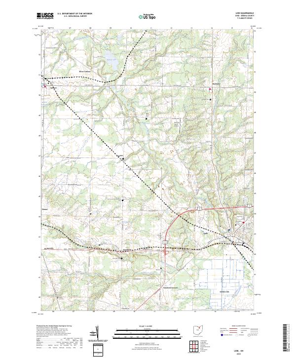
2023 Map of Lodi
USGS Topo · Published 2023About this map
The East Branch Black River and its various forks carve through this section of Medina County, anchoring a landscape defined by small crossroads settlements and quiet agricultural tracts. Modern Lodi serves as the primary hub in the south, while other long-established communities like Spencer and Chatham maintain their distinct positions along the primary road network. The map reveals a high concentration of burial grounds, including the Old Lodi Cem and Woodlawn Cem, alongside family-named sites such as Munson Cem and Voorhees Cem, providing significant material for genealogical research.
Find a feature on this map
73 named features on this map. Tap any name to fly to it.
Don’t see what you’re looking for? This feature index may not catch every label — zoom into the map to look around manually.
Map Details
Editions of this 2023 Lodi Map
This is the sole edition of this map. No revisions or reprints were ever made.
Other maps of this area

1901 · Wooster
USGS Topo · 1:62,500

1903 · Wooster
USGS Topo · 1:62,500

1904 · Medina
USGS Topo · 1:62,500

1904 · Wellington
USGS Topo · 1:62,500

1906 · Medina
USGS Topo · 1:62,500

1906 · Wellington
USGS Topo · 1:62,500

1906 · West Salem
USGS Topo · 1:62,500

1908 · West Salem
USGS Topo · 1:62,500

1950 · Cleveland
USGS Topo · 1:250,000

1950 · Marion
USGS Topo · 1:250,000