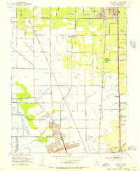
1953 Map of Lodi South
USGS Topo · Published 1955About this map
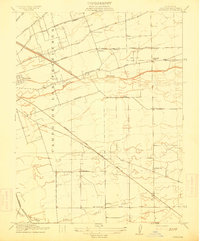
Agricultural development and industrial transit converge in this mid-century survey of the Central Valley. The City of Lodi anchors the north, while the expanding northern reaches of the City of Stockton and suburban Lincoln Village push upward from the south. The landscape is defined by its infrastructure, from the steel rails of the Western Pacific and Southern Pacific to the critical route of the Mokelumne Aqueduct.
Find a feature on this map
54 named features on this map. Tap any name to fly to it.
Don’t see what you’re looking for? This feature index may not catch every label — zoom into the map to look around manually.
Map Details
Editions of this 1953 Lodi South Map
2 editions found

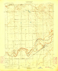
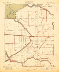
Other maps of this area

1894 · Lodi
USGS Topo · 1:125,000

1908 · Waterloo
USGS Topo · 1:31,680
1908 · Lockeford
USGS Topo · 1:31,680

1910 · New Hope
USGS Topo · 1:31,680

1910 · Castle
USGS Topo · 1:31,680

1910 · Woodbridge
USGS Topo · 1:31,680

1910 · Headreach
USGS Topo · 1:31,680
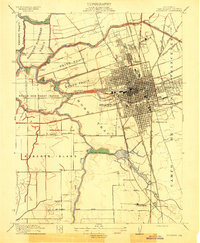
1913 · Stockton
USGS Topo · 1:31,680
1913 · Holt
USGS Topo · 1:31,680
1914 · Burnham
USGS Topo · 1:31,680