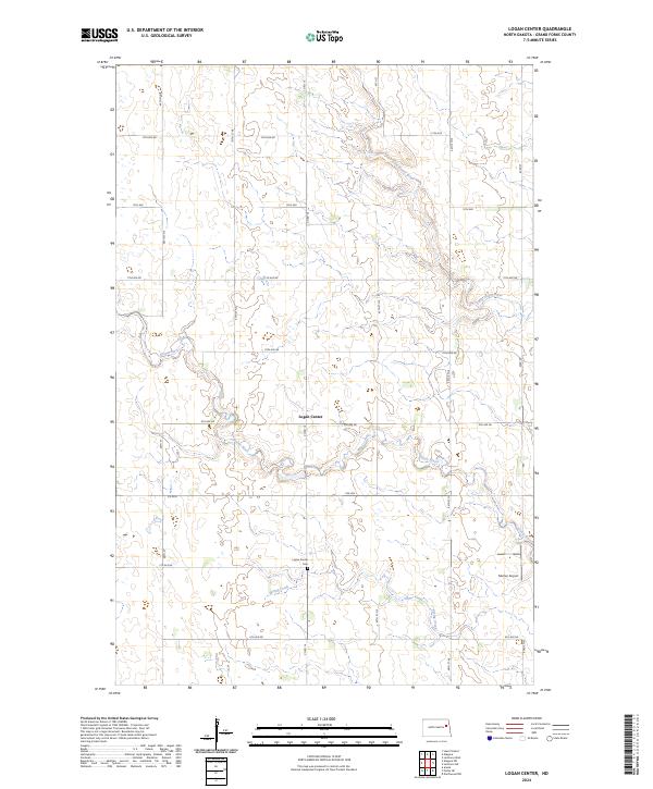
2024 Map of Logan Center
USGS Topo · Published 2024About this map
Logan Center and its surrounding agricultural landscape are defined by the meandering courses of the Goose River and Little Goose River in western Grand Forks County. This prairie terrain is organized by a rigid grid of rural roads, including Co Rd 16 and Co Rd 6, which connect the small settlement to outlying farms and landmarks. The presence of the Grand Forks County Waterfowl Production Area highlights the importance of the region's natural prairie potholes and wetlands within the larger drainage basin of Spring Creek.
Find a feature on this map
32 named features on this map. Tap any name to fly to it.
Don’t see what you’re looking for? This feature index may not catch every label — zoom into the map to look around manually.
Map Details
Editions of this 2024 Logan Center Map
This is the sole edition of this map. No revisions or reprints were ever made.
Other maps of this area

1936 · Larimore
USGS Topo · 1:62,500

1939 · Niagara
USGS Topo · 1:62,500

1952 · Grand Forks
USGS Topo · 1:250,000

1956 · Grand Forks
USGS Topo · 1:250,000

1963 · Niagara SW
USGS Topo · 1:24,000

1963 · Larimore SW
USGS Topo · 1:24,000

1963 · Larimore West
USGS Topo · 1:24,000
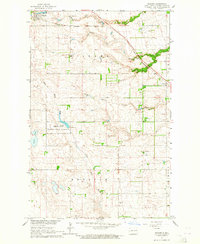
1963 · Niagara
USGS Topo · 1:24,000

1963 · Logan Center
USGS Topo · 1:24,000

1966 · Grand Forks
USGS Topo · 1:250,000