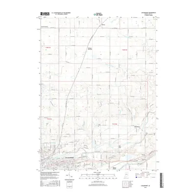
2016 Map of Logansport
USGS Topo · Published 2016About this map
The confluence of the Eel River and the Wabash River anchors the city of Logansport, where a dense grid of streets and historical burial grounds like Mount Hope Cem reflect over a century of development in north-central Indiana. Outside the urban core, the landscape transitions into a well-ordered agricultural grid defined by numerous county roads and small rural communities including Metea, Adamsboro, and Leases Corner. The area is notably dissected by a complex network of drainage systems, such as the Shackelford Ditch, Gardner Powell Ditch, and Howard Ditch, which were essential for managing the low-lying terrain for farming. For genealogists and local historians, the presence of several established cemeteries, including Horney Cem, Wilson Cem, and Bethel Cem, provides a detailed record of the families that settled this portion of Cass County.
Find a feature on this map
96 named features on this map. Tap any name to fly to it.
Don’t see what you’re looking for? This feature index may not catch every label — zoom into the map to look around manually.
Map Details
Editions of this 2016 Logansport Map
This is the sole edition of this map. No revisions or reprints were ever made.
Other maps of this area

1951 · Onward
USGS Topo · 1:24,000

1951 · Twelve Mile
USGS Topo · 1:24,000

1953 · Danville
USGS Topo · 1:250,000

1955 · Danville
USGS Topo · 1:250,000

1955 · Logansport
USGS Topo · 1:24,000

1955 · Anoka
USGS Topo · 1:24,000

1956 · Danville
USGS Topo · 1:250,000

1960 · Lucerne
USGS Topo · 1:24,000

1960 · Fulton
USGS Topo · 1:24,000

1960 · Macy
USGS Topo · 1:24,000