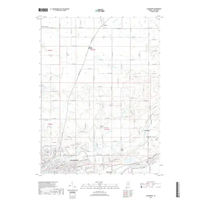
2019 Map of Logansport
USGS Topo · Published 2019About this map
Logansport sits at the confluence where the Eel River meets the Wabash River, serving as the primary hub in this Cass County landscape. The 2019 survey illustrates a complex municipal and rural interface, defined by a dense grid of residential streets like Chase Rd and industrial sites near the Cass Station Bridge. Outside the city, the land is etched by an extensive drainage network, including the Gardner Powell Ditch and Shackelford Ditch, which support the agricultural tracts between small settlements such as Metea and Adamsboro.
Find a feature on this map
96 named features on this map. Tap any name to fly to it.
Don’t see what you’re looking for? This feature index may not catch every label — zoom into the map to look around manually.
Map Details
Editions of this 2019 Logansport Map
This is the sole edition of this map. No revisions or reprints were ever made.
Other maps of this area
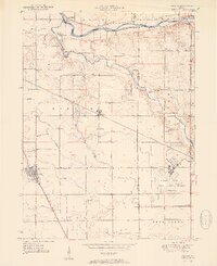
1951 · Onward
USGS Topo · 1:24,000
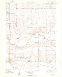
1951 · Twelve Mile
USGS Topo · 1:24,000

1953 · Danville
USGS Topo · 1:250,000

1955 · Danville
USGS Topo · 1:250,000
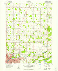
1955 · Logansport
USGS Topo · 1:24,000
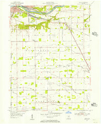
1955 · Anoka
USGS Topo · 1:24,000

1956 · Danville
USGS Topo · 1:250,000
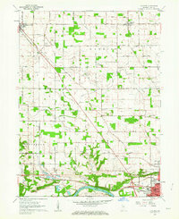
1960 · Lucerne
USGS Topo · 1:24,000
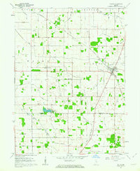
1960 · Fulton
USGS Topo · 1:24,000
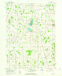
1960 · Macy
USGS Topo · 1:24,000