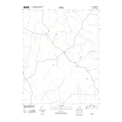
2010 Map of Lola
USGS Topo · Published 2010About this map
Lola serves as the central hub of this northern Livingston County landscape, where the confluence of several rural roads and small-scale mining operations define the local economy. The terrain is marked by significant resource extraction, as evidenced by the May Mines, Mitchel Mine, and Bonanza Mines clustered near the settlement. These mining sites, alongside the Matterds Prospects, suggest a history of mineral exploration throughout the region.
Find a feature on this map
52 named features on this map. Tap any name to fly to it.
Don’t see what you’re looking for? This feature index may not catch every label — zoom into the map to look around manually.
Map Details
Editions of this 2010 Lola Map
This is the sole edition of this map. No revisions or reprints were ever made.
Other maps of this area
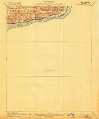
1916 · Fords Ferry
USGS Topo · 1:62,500
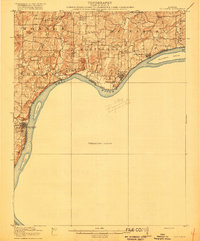
1916 · Golconda
USGS Topo · 1:62,500
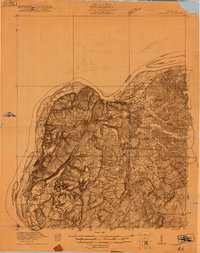
1920 · Goloonda
USGS Topo · 1:48,000
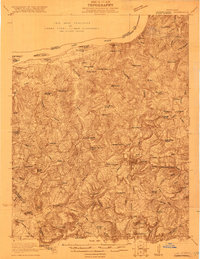
1921 · Fords Ferry
USGS Topo · 1:48,000
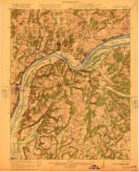
1921 · Golconda
USGS Topo · 1:62,500
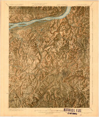
1925 · Cave In Rock
USGS Topo · 1:62,500
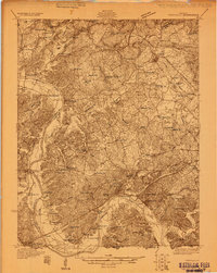
1928 · Eddyville
USGS Topo · 1:48,000
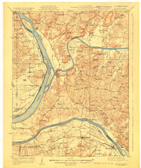
1929 · Smithland
USGS Topo · 1:62,500
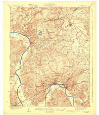
1931 · Eddyville
USGS Topo · 1:62,500
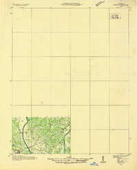
1936 · Eddyville
USGS Topo · 1:48,000