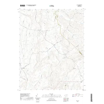
2019 Map of Lola
USGS Topo · Published 2019About this map
Lola and Hampton serve as primary points of interest in this section of Western Kentucky, where the landscape is defined by the winding course of Deer Creek and its many tributaries. The terrain is marked by significant elevations like Wilson Bluff and Lockhart Bluff, which overlook the bottomlands of Livingston Cr. For those tracing local heritage, several burial grounds are documented, including Hopewell Cem, Robinson Cem, and Barnett Cem. The road network is dense with family-named routes such as Bethel Hill Rd and Watson Cemetery Rd, reflecting the deep-rooted settlement patterns of the region. A notable crossing at Canada Bridge connects these rural communities, while natural water sources like Wallace Spring highlight the geographic features that originally supported early farmsteads and rural development near the border of Livingston and Crittenden counties.
Find a feature on this map
67 named features on this map. Tap any name to fly to it.
Don’t see what you’re looking for? This feature index may not catch every label — zoom into the map to look around manually.
Map Details
Editions of this 2019 Lola Map
This is the sole edition of this map. No revisions or reprints were ever made.
Other maps of this area

1916 · Fords Ferry
USGS Topo · 1:62,500

1916 · Golconda
USGS Topo · 1:62,500

1920 · Goloonda
USGS Topo · 1:48,000

1921 · Fords Ferry
USGS Topo · 1:48,000

1921 · Golconda
USGS Topo · 1:62,500

1925 · Cave In Rock
USGS Topo · 1:62,500

1928 · Eddyville
USGS Topo · 1:48,000

1929 · Smithland
USGS Topo · 1:62,500

1931 · Eddyville
USGS Topo · 1:62,500

1936 · Eddyville
USGS Topo · 1:48,000