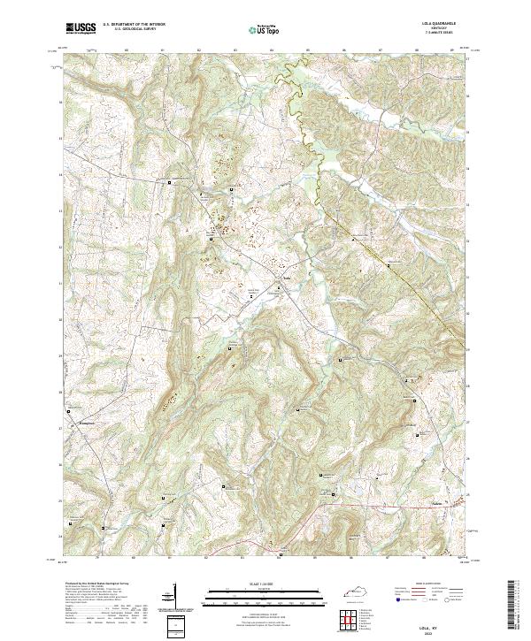
2022 Map of Lola
USGS Topo · Published 2022About this map
Lola and Hampton anchor this detailed study of the rolling interior between the Ohio and Cumberland rivers. The landscape is defined by a dense network of family-named cemeteries and rural roads, suggesting a deeply rooted agricultural community where legacy sites like the Old Salem Baptist Church Cem and Lola Pentecostal Cem remain central to the local geography. Significant topographic features including Wilson Bluff and Lockhart Bluff rise above the drainage basins of Livingston Cr and Deer Creek.
Find a feature on this map
89 named features on this map. Tap any name to fly to it.
Don’t see what you’re looking for? This feature index may not catch every label — zoom into the map to look around manually.
Map Details
Editions of this 2022 Lola Map
This is the sole edition of this map. No revisions or reprints were ever made.
Other maps of this area

1916 · Fords Ferry
USGS Topo · 1:62,500

1916 · Golconda
USGS Topo · 1:62,500

1920 · Goloonda
USGS Topo · 1:48,000

1921 · Fords Ferry
USGS Topo · 1:48,000

1921 · Golconda
USGS Topo · 1:62,500

1925 · Cave In Rock
USGS Topo · 1:62,500

1928 · Eddyville
USGS Topo · 1:48,000

1929 · Smithland
USGS Topo · 1:62,500

1931 · Eddyville
USGS Topo · 1:62,500

1936 · Eddyville
USGS Topo · 1:48,000