1952 Map of Lolita
USGS Topo · Published 1970About this map
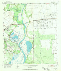
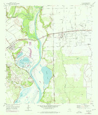
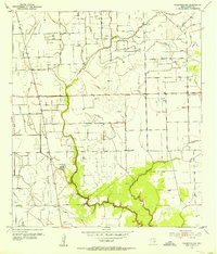
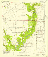
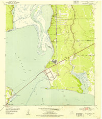
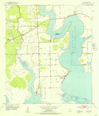
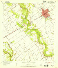
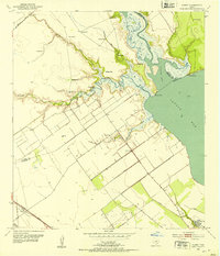
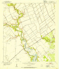
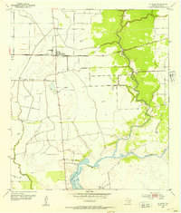
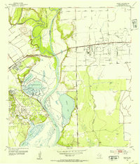
The confluence of the Lavaca River and Navidad River dominates this coastal Texas landscape, where river bends like Buzzard Roost Bend and landmarks such as Old Red Bluff define the riparian corridor. In the early 1950s, the region was a hub of industrial activity, anchored by a significant Oil Field east of Lolita and an Oil Refinery located south of Vanderbilt. This industrial footprint is tied to a network of transportation, including the Missouri Pacific railroad and the Point Comfort and Northern line.
Find a feature on this map
26 named features on this map. Tap any name to fly to it.
Don’t see what you’re looking for? This feature index may not catch every label — zoom into the map to look around manually.
Map Details
Editions of this 1952 Lolita Map
3 editions found
Other maps of this area
1952 · Francitas NW
USGS Topo · 1:24,000
1952 · Manson
USGS Topo · 1:24,000
1952 · Point Comfort
USGS Topo · 1:24,000
1952 · Olivia
USGS Topo · 1:24,000
1952 · Edna
USGS Topo · 1:24,000
1952 · Kamey
USGS Topo · 1:24,000
1952 · La Salle
USGS Topo · 1:24,000
1952 · La Ward
USGS Topo · 1:24,000
1952 · Lolita
USGS Topo · 1:24,000

1953 · Beeville
USGS Topo · 1:250,000