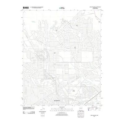
2010 Map of Loma Machete
USGS Topo · Published 2010About this map
Rio Rancho and Corrales anchor this survey of a modernizing desert landscape defined by high mesas and deep drainage channels. The map illustrates a dense residential network expanding across several prominent elevations, including Loma Machete, Loma Duran, and Loma Colorado de Abajo. This urbanization is shaped by the natural topography of the high desert, where extensive street grids are interrupted by the meandering courses of Arroyo de los Montoyas and Arroyo de las Lomitas Negras.
Find a feature on this map
100 named features on this map. Tap any name to fly to it.
Don’t see what you’re looking for? This feature index may not catch every label — zoom into the map to look around manually.
Map Details
Editions of this 2010 Loma Machete Map
This is the sole edition of this map. No revisions or reprints were ever made.
Other maps of this area

1888 · Bernalillo
USGS Topo · 1:125,000

1889 · Albuquerque
USGS Topo · 1:125,000

1893 · Albuquerque
USGS Topo · 1:125,000

1934 · Alameda
USGS Topo · 1:24,000

1934 · Griegos
USGS Topo · 1:24,000

1938 · Albuquerque
USGS Topo · 1:62,500

1953 · Bernalillo NW
USGS Topo · 1:24,000

1954 · Alameda
USGS Topo · 1:24,000

1954 · Volcano Ranch
USGS Topo · 1:24,000

1954 · Loma Machete
USGS Topo · 1:24,000