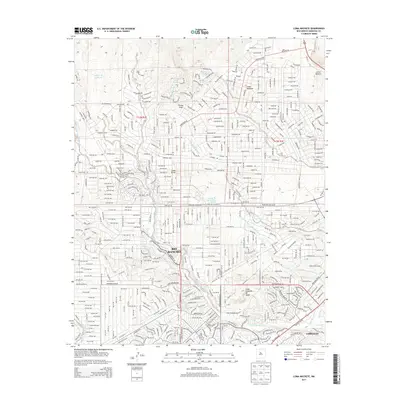
2013 Map of Loma Machete
USGS Topo · Published 2013About this map
Rio Rancho and the neighboring community of Corrales define this high-desert landscape in Sandoval County, showing a complex network of residential development during the early 21st century. The map reveals how the city’s grid system interacts with natural features like the Arroyo de la Barranca and Arroyo de las Lomitas Negras, which carve through the plateau. Local landmarks such as Picuda Peak and the namesake Loma Machete rise above the suburban expansion, while smaller neighborhoods like Loma Duran and Loma Colorado de Abajo are clearly delineated. Transportation is centered around corridors like Unser Blvd NE and Rainbow Blvd NW, which facilitate movement through the high-elevation terrain punctuated by Loma Barbon and the ephemeral Laguna de las Bacas.
Find a feature on this map
32 named features on this map. Tap any name to fly to it.
Don’t see what you’re looking for? This feature index may not catch every label — zoom into the map to look around manually.
Map Details
Editions of this 2013 Loma Machete Map
This is the sole edition of this map. No revisions or reprints were ever made.
Other maps of this area

1888 · Bernalillo
USGS Topo · 1:125,000

1889 · Albuquerque
USGS Topo · 1:125,000

1893 · Albuquerque
USGS Topo · 1:125,000

1934 · Alameda
USGS Topo · 1:24,000

1934 · Griegos
USGS Topo · 1:24,000

1938 · Albuquerque
USGS Topo · 1:62,500

1953 · Bernalillo NW
USGS Topo · 1:24,000

1954 · Alameda
USGS Topo · 1:24,000

1954 · Volcano Ranch
USGS Topo · 1:24,000

1954 · Loma Machete
USGS Topo · 1:24,000