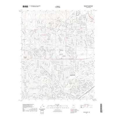
2023 Map of Loma Machete
USGS Topo · Published 2023About this map
Rio Rancho and its northern expansion areas define this high-desert landscape in Sandoval County. The map details a complex network of residential development transitioning into the open mesas, characterized by numerous "Loma" settlements including Loma Machete, Loma Duran, and Loma Coyote. The terrain is deeply inscribed by seasonal watercourses such as the Arroyo de la Baranca and Arroyo Venada, which drain toward the east from the foothills. Institutional growth is centered around the Central New Mexico Community College Rio Rancho Campus and the UNM Health Sciences Rio Rancho Campus, reflecting the area's modern educational infrastructure. Notable landmarks like Picuda Peak and the Laguna de las Bacas provide topographical reference points amidst the dense grid of planned streets in Rio Rancho Estates.
Find a feature on this map
85 named features on this map. Tap any name to fly to it.
Don’t see what you’re looking for? This feature index may not catch every label — zoom into the map to look around manually.
Map Details
Editions of this 2023 Loma Machete Map
This is the sole edition of this map. No revisions or reprints were ever made.
Other maps of this area

1888 · Bernalillo
USGS Topo · 1:125,000

1889 · Albuquerque
USGS Topo · 1:125,000

1893 · Albuquerque
USGS Topo · 1:125,000

1934 · Alameda
USGS Topo · 1:24,000

1934 · Griegos
USGS Topo · 1:24,000

1938 · Albuquerque
USGS Topo · 1:62,500

1953 · Bernalillo NW
USGS Topo · 1:24,000

1954 · Alameda
USGS Topo · 1:24,000

1954 · Volcano Ranch
USGS Topo · 1:24,000

1954 · Loma Machete
USGS Topo · 1:24,000