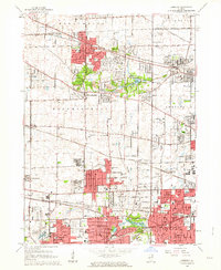
1962 Map of Lombard
USGS Topo · Published 1964About this map
The East Branch Du Page River meanders through this portion of DuPage County, illustrating the mid-century suburban expansion across northern Illinois. The landscape is a mix of established residential hubs like Lombard, Wheaton, and Roselle, interspersed with extensive recreational and institutional grounds. The era's transportation network is defined by major rail lines, including the Chicago Milwaukee St Paul and Pacific and the Chicago Great Western, which shaped the development of communities like Gretna and Cloverdale.
Find a feature on this map
86 named features on this map. Tap any name to fly to it.
Don’t see what you’re looking for? This feature index may not catch every label — zoom into the map to look around manually.
Map Details
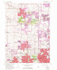
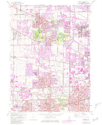
Editions of this 1962 Lombard Map
3 editions found
Other maps of this area

1891 · Riverside
USGS Topo · 1:62,500

1893 · Riverside
USGS Topo · 1:62,500

1900 · Riverside
USGS Topo · 1:62,500

1900 · Highwood
USGS Topo · 1:62,500

1901 · Riverside
USGS Topo · 1:62,500

1908 · Wheaton
USGS Topo · 1:62,500

1923 · Barrington
USGS Topo · 1:62,500
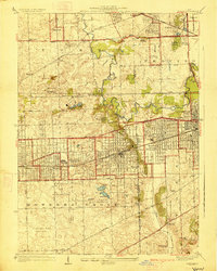
1927 · Hinsdale
USGS Topo · 1:24,000

1927 · Arlington Heights
USGS Topo · 1:24,000

1928 · Elmhurst
USGS Topo · 1:24,000