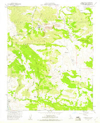
1959 Map of Lompoc Hills
USGS Topo · Published 1960About this map
Mission Vieja de la Purisima stands as a primary historical anchor on this landscape, situated just north of the White Hills where numerous Strip Mines and dumps reveal the mid-century industrial activity of the region. The map documents a complex drainage system where the Santa Ynez River meets Salsipuedes Creek, winding through deep canyons like Long Canyon and the Cañada de Salsipuedes.
Find a feature on this map
44 named features on this map. Tap any name to fly to it.
Don’t see what you’re looking for? This feature index may not catch every label — zoom into the map to look around manually.
Map Details
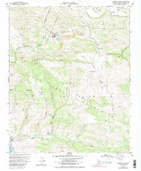
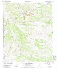
Editions of this 1959 Lompoc Hills Map
3 editions found
Other maps of this area

1905 · Guadalupe
USGS Topo · 1:125,000

1905 · Lompoc
USGS Topo · 1:125,000

1942 · Point Arguello
USGS Topo · 1:62,500

1942 · Guadalupe
USGS Topo · 1:125,000

1942 · Lompoc
USGS Topo · 1:125,000

1942 · Lompoc
USGS Topo · 1:62,500

1942 · Pt. Conception
USGS Topo · 1:62,500

1943 · Lompoc
USGS Topo · 1:125,000

1947 · Lompoc
USGS Topo · 1:24,000
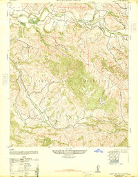
1947 · Santa Rosa Hills
USGS Topo · 1:24,000