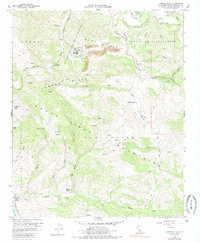
1959 Map of Lompoc Hills
USGS Topo · Published 1985About this map
Jalama Ranch and the nearby Jalama School anchor this 1959 topographic record of the coastal mountains south of Lompoc. The landscape is defined by the heavy infrastructure of the Southern Pacific Railroad tracing the shoreline near Jalama Beach Park, while the interior reveals the industrial footprint of several Strip Mines and a Hospital located within the White Hills. Large historic land grants, including Santa Rita (Malo) and La Mission Vieja de la Purisima, partition the terrain into distinct ranching and resource zones.
Find a feature on this map
52 named features on this map. Tap any name to fly to it.
Don’t see what you’re looking for? This feature index may not catch every label — zoom into the map to look around manually.
Map Details
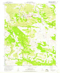
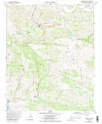
Editions of this 1959 Lompoc Hills Map
3 editions found
Other maps of this area

1905 · Guadalupe
USGS Topo · 1:125,000

1905 · Lompoc
USGS Topo · 1:125,000

1942 · Point Arguello
USGS Topo · 1:62,500

1942 · Guadalupe
USGS Topo · 1:125,000

1942 · Lompoc
USGS Topo · 1:125,000

1942 · Lompoc
USGS Topo · 1:62,500

1942 · Pt. Conception
USGS Topo · 1:62,500

1943 · Lompoc
USGS Topo · 1:125,000

1947 · Lompoc
USGS Topo · 1:24,000
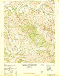
1947 · Santa Rosa Hills
USGS Topo · 1:24,000