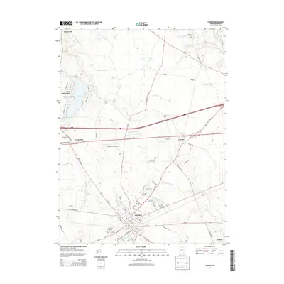
2013 Map of London
USGS Topo · Published 2013About this map
The county seat of London serves as the central hub of this Madison County landscape, where the urban grid gives way to a highly engineered agricultural periphery. The surrounding plains are defined by an extensive network of drainage systems, including Richmond Ditch, Chenoweth Ditch, and Dun Ditch Number 1, which manage the water levels for established family operations like Peart Farms and Witt Farms. This drainage infrastructure supports a productive landscape that contrasts with the recreational waters of Lake Choctaw to the west and the marshy edges of Madison Lake in the southeast.
Find a feature on this map
109 named features on this map. Tap any name to fly to it.
Don’t see what you’re looking for? This feature index may not catch every label — zoom into the map to look around manually.
Map Details
Editions of this 2013 London Map
This is the sole edition of this map. No revisions or reprints were ever made.
Other maps of this area

1907 · London
USGS Topo · 1:62,500

1907 · South Charleston
USGS Topo · 1:62,500

1914 · Mechanicsburg
USGS Topo · 1:62,500

1916 · Mechanicsburg
USGS Topo · 1:62,500

1916 · Milford Center
USGS Topo · 1:62,500

1944 · Mechanicsburg
USGS Topo · 1:62,500

1944 · Milford Center
USGS Topo · 1:62,500

1947 · Columbus
USGS Topo · 1:250,000

1950 · Marion
USGS Topo · 1:250,000

1961 · Columbus
USGS Topo · 1:250,000