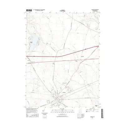
2016 Map of London
USGS Topo · Published 2016About this map
The city of London serves as the central hub for this Madison County landscape, where the historical path of the National Pike intersects with a network of early roads and modern routes. This 2016 survey documents a region defined by its agricultural heritage and water management, illustrated by a dense system of drainage channels such as Roberts Ditch and Chenoweth Ditch that feed into Deer Creek. Genealogists will find a significant concentration of burial sites throughout the township, including the Oak Hill Cemetery and the Sommerford Old Cemetery. To the northwest, the residential development around Lake Choctaw provides a contrast to the surrounding farmland, while the Madison County Airport and the outskirts of Summerford and Lafayette mark the continued evolution of the local infrastructure along the Little Darby Creek corridor.
Find a feature on this map
104 named features on this map. Tap any name to fly to it.
Don’t see what you’re looking for? This feature index may not catch every label — zoom into the map to look around manually.
Map Details
Editions of this 2016 London Map
This is the sole edition of this map. No revisions or reprints were ever made.
Other maps of this area

1907 · London
USGS Topo · 1:62,500

1907 · South Charleston
USGS Topo · 1:62,500

1914 · Mechanicsburg
USGS Topo · 1:62,500

1916 · Mechanicsburg
USGS Topo · 1:62,500

1916 · Milford Center
USGS Topo · 1:62,500

1944 · Mechanicsburg
USGS Topo · 1:62,500

1944 · Milford Center
USGS Topo · 1:62,500

1947 · Columbus
USGS Topo · 1:250,000

1950 · Marion
USGS Topo · 1:250,000

1961 · Columbus
USGS Topo · 1:250,000