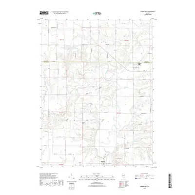
2018 Map of London Mills
USGS Topo · Published 2018About this map
The Spoon River meanders through this western Illinois landscape, carving a wide valley that defines the geography of Fulton and Knox counties. The settlement of London Mills occupies the river's north bank, where local streets like W High St and Ryan St meet the waterway. To the south, the village of Ellisville sits near the confluence of Coal Cr and the river, anchored by the Ellisville Cem.
Find a feature on this map
66 named features on this map. Tap any name to fly to it.
Don’t see what you’re looking for? This feature index may not catch every label — zoom into the map to look around manually.
Map Details
Editions of this 2018 London Mills Map
This is the sole edition of this map. No revisions or reprints were ever made.
Other maps of this area

1912 · Canton
USGS Topo · 1:62,500

1915 · Avon
USGS Topo · 1:62,500

1925 · Galesburg
USGS Topo · 1:62,500

1927 · Galesburg
USGS Topo · 1:62,500

1941 · Maquon
USGS Topo · 1:62,500

1943 · Maquon
USGS Topo · 1:62,500

1944 · Avon
USGS Topo · 1:62,500

1958 · Burlington
USGS Topo · 1:250,000

1961 · Burlington
USGS Topo · 1:250,000

1963 · Burlington
USGS Topo · 1:250,000