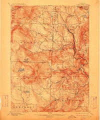
1899 Map of Londonderry
USGS Topo · Published 1912About this map
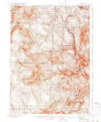
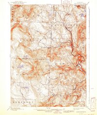
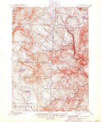
Londonderry and South Londonderry anchor the northeastern portion of this Vermont landscape, which was surveyed in the final decade of the 19th century. The terrain is defined by prominent peaks including Bromley Mountain, Glebe Mountain, and Stratton Mountain, with the Central Vermont R. R. following the narrow valley of the West River. This rail connection was vital for the scattered hill towns and small settlements such as Bondville, Jamaica, and the uniquely named Bucketville. High-altitude water bodies like Lowell Lake, Stratton Pond, and Grout Pond are scattered across the uplands, while the Deerfield River and Winhall River drain the steep topography. The map illustrates a period when isolated mountain farming and early timber interests shaped the network of roads connecting West Wardsboro, Peru, and Rawsonville.
Find a feature on this map
52 named features on this map. Tap any name to fly to it.
Don’t see what you’re looking for? This feature index may not catch every label — zoom into the map to look around manually.
Map Details
Editions of this 1899 Londonderry Map
8 editions found

Other maps of this area

1889 · Wilmington
USGS Topo · 1:62,500

1891 · Wilmington
USGS Topo · 1:62,500

1891 · Brattleboro
USGS Topo · 1:62,500

1893 · Wallingford
USGS Topo · 1:62,500

1893 · Brattleboro
USGS Topo · 1:62,500

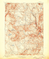
1894 · Londonderry
USGS Topo · 1:62,500

1894 · Pawlet
USGS Topo · 1:62,500

1894 · Equinox
USGS Topo · 1:62,500

1896 · Equinox
USGS Topo · 1:62,500

1897 · Pawlet
USGS Topo · 1:62,500