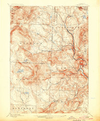
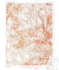
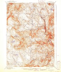
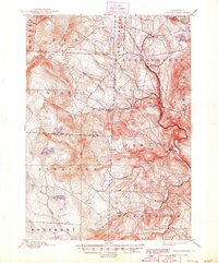
1899 Map of Londonderry
USGS Topo · Published 1904About this map
The Central Vermont RR (Brattleboro Branch) winds through the deep valleys of the Green Mountains, following the course of the Winhall River and West River to connect the timber and mill towns of late 19th-century Windham County. This 1892 survey documents the industrial and agricultural landscape of the era, from the established hubs at Londonderry and South Londonderry to the small upland hamlets of West Wardsboro and Bucketville. The topographical detail highlights the prominence of Bromley Mountain and Stratton Mountain, which hem in the settlements and dictate the paths of early roads.
Find a feature on this map
48 named features on this map. Tap any name to fly to it.
Don’t see what you’re looking for? This feature index may not catch every label — zoom into the map to look around manually.
Map Details
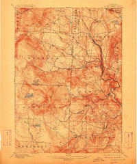
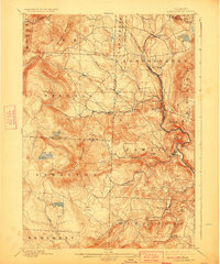
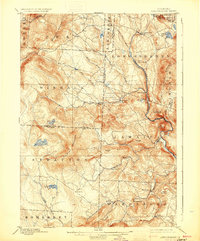
Editions of this 1899 Londonderry Map
8 editions found

Other maps of this area

1889 · Wilmington
USGS Topo · 1:62,500

1891 · Wilmington
USGS Topo · 1:62,500

1891 · Brattleboro
USGS Topo · 1:62,500

1893 · Wallingford
USGS Topo · 1:62,500

1893 · Brattleboro
USGS Topo · 1:62,500

1894 · Londonderry
USGS Topo · 1:62,500

1894 · Pawlet
USGS Topo · 1:62,500

1894 · Equinox
USGS Topo · 1:62,500

1896 · Equinox
USGS Topo · 1:62,500

1897 · Pawlet
USGS Topo · 1:62,500