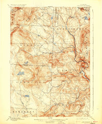
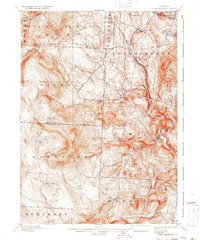
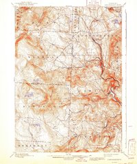
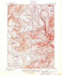
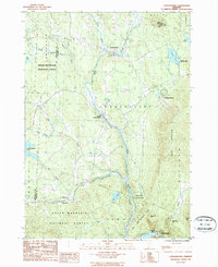
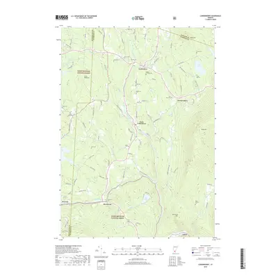
1899 Map of Londonderry
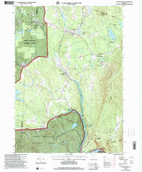
USGS Topo · Published 1930About this map
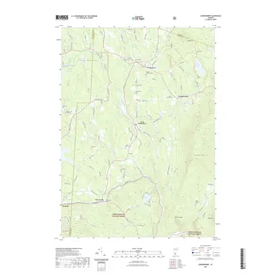
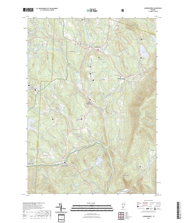
Central Vermont R. R. follows the winding path of the West River through this late nineteenth-century Vermont landscape, connecting mountain valley settlements during the height of the local rail-and-river economy. The topography is defined by the high peaks of the Green Mountains, including Bromley Mountain and the massive profile of Stratton Mountain. Dozens of small villages and hamlets, such as South Londonderry, Jamaica, and Bondville, are shown at a time when the region's industry relied on water power from features like Mill Brook and the Winhall River.
Find a feature on this map
50 named features on this map. Tap any name to fly to it.
Don’t see what you’re looking for? This feature index may not catch every label — zoom into the map to look around manually.
Map Details
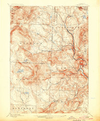
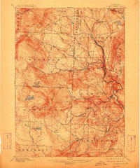
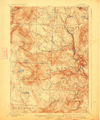
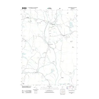
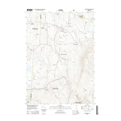
Editions of this 1899 Londonderry Map
8 editions found

Historical Maps of Dorset Through Time
10 maps found

1894 Londonderry
Windham County, VT
1899 Londonderry
Windham County, VT
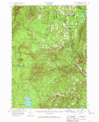
1957 Londonderry
Windham County, VT
1986 Londonderry
Windham County, VT
1997 Londonderry
Windham County, VT
2012 Londonderry
Windham County, VT
2015 Londonderry
Windham County, VT
2018 Londonderry
Windham County, VT
2021 Londonderry
Windham County, VT
2024 Londonderry
Windham County, VT