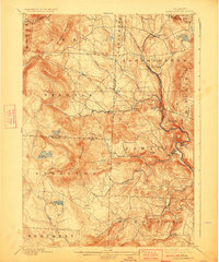
1899 Map of Londonderry
USGS Topo · Published 1924About this map
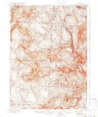
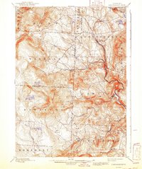
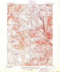
Stratton Mountain and Bromley Mountain anchor this late nineteenth-century survey of the Green Mountains, where steep terrain dictated the path of early industry and settlement. The Brattleboro and Whitehall Branch railroad snakes through the river valleys, serving timber and trade hubs like South Londonderry and Jamaica. In the more isolated highlands, small communities such as Bucketville and Rawsonville are connected only by narrow mountain roads. These upland basins are home to several significant water bodies, including Lowell Lake and the high-elevation Stratton Pond. The map reveals a landscape defined by the drainage of the Winhall River and Mad Brook, with township boundaries for Peru, Winhall, and Wardsboro strictly following the ridges and creek lines that shaped the political and economic life of these Vermont hill towns.
Find a feature on this map
53 named features on this map. Tap any name to fly to it.
Don’t see what you’re looking for? This feature index may not catch every label — zoom into the map to look around manually.
Map Details
Editions of this 1899 Londonderry Map
8 editions found

Other maps of this area

1889 · Wilmington
USGS Topo · 1:62,500

1891 · Wilmington
USGS Topo · 1:62,500

1891 · Brattleboro
USGS Topo · 1:62,500

1893 · Wallingford
USGS Topo · 1:62,500

1893 · Brattleboro
USGS Topo · 1:62,500

1894 · Londonderry
USGS Topo · 1:62,500

1894 · Pawlet
USGS Topo · 1:62,500

1894 · Equinox
USGS Topo · 1:62,500

1896 · Equinox
USGS Topo · 1:62,500

1897 · Pawlet
USGS Topo · 1:62,500