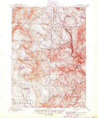
1899 Map of Londonderry
USGS Topo · Published 1948About this map
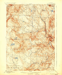
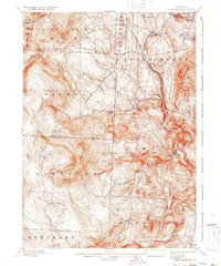
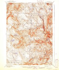
Londonderry and the surrounding Green Mountain backcountry are defined by high-elevation peaks and narrow valley settlements in this late 19th-century landscape. The Central Vermont Railroad serves as a vital transportation artery, winding through the eastern valley to connect South Londonderry and Winhall Sta. to larger regional networks. This industrial presence contrasts with the remote character of the interior, where high summits like Bromley Mountain and Stratton Mountain tower over isolated mountain ponds.
Find a feature on this map
51 named features on this map. Tap any name to fly to it.
Don’t see what you’re looking for? This feature index may not catch every label — zoom into the map to look around manually.
Map Details
Editions of this 1899 Londonderry Map
8 editions found

Other maps of this area

1889 · Wilmington
USGS Topo · 1:62,500

1891 · Wilmington
USGS Topo · 1:62,500

1891 · Brattleboro
USGS Topo · 1:62,500

1893 · Wallingford
USGS Topo · 1:62,500

1893 · Brattleboro
USGS Topo · 1:62,500

1894 · Londonderry
USGS Topo · 1:62,500

1894 · Pawlet
USGS Topo · 1:62,500

1894 · Equinox
USGS Topo · 1:62,500

1896 · Equinox
USGS Topo · 1:62,500

1897 · Pawlet
USGS Topo · 1:62,500