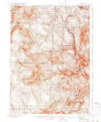
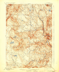
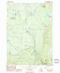
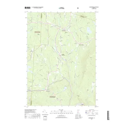
1899 Map of Londonderry
USGS Topo · Published 1937About this map
The West River valley serves as the primary corridor for commerce and travel through this part of the Green Mountains during the late 19th century. The Vermont Central R. R. follows the winding river path, connecting mountain hamlets such as South Londonderry and Winhall Sta. This era predates the widespread automotive travel that would later transform these mountain passes, showing a landscape defined by rail stops and small clusters of settlement like Bondville, Rawsonville, and the descriptively named Bucketville.
Find a feature on this map
52 named features on this map. Tap any name to fly to it.
Don’t see what you’re looking for? This feature index may not catch every label — zoom into the map to look around manually.
Map Details
Editions of this 1899 Londonderry Map
8 editions found

Historical Maps of Dorset Through Time
10 maps found

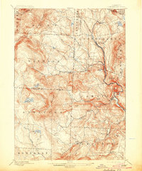
1894 Londonderry
Windham County, VT
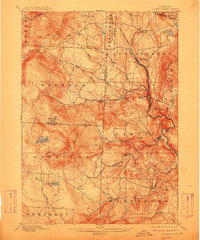
1899 Londonderry
Windham County, VT
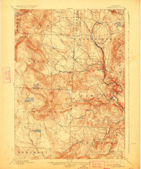
1957 Londonderry
Windham County, VT
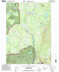
1986 Londonderry
Windham County, VT
1997 Londonderry
Windham County, VT
2012 Londonderry
Windham County, VT
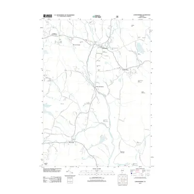
2015 Londonderry
Windham County, VT
2018 Londonderry
Windham County, VT
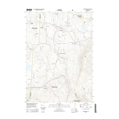
2021 Londonderry
Windham County, VT
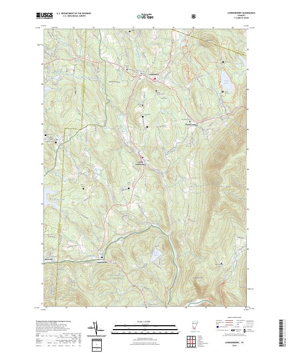
2024 Londonderry
Windham County, VT