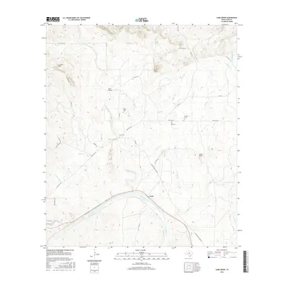
2016 Map of Lone Grove
USGS Topo · Published 2016About this map
The Little Llano River and Llano River converge in this Hill Country landscape, defining a region where water and rocky terrain dictate settlement patterns. The small community of Lone Grove sits centrally along Ranch Rd 2241, serving as a local hub for the surrounding ranching country. Further south, the settlement of Stolz is positioned near the riverbanks, where the topography transitions from the elevations of Lockhart Mtn and Point Peak toward the alluvial plains.
Find a feature on this map
41 named features on this map. Tap any name to fly to it.
Don’t see what you’re looking for? This feature index may not catch every label — zoom into the map to look around manually.
Map Details
Editions of this 2016 Lone Grove Map
This is the sole edition of this map. No revisions or reprints were ever made.
Other maps of this area

1887 · Llano
USGS Topo · 1:125,000

1887 · Burnet
USGS Topo · 1:125,000

1893 · Burnet
USGS Topo · 1:125,000

1894 · Llano
USGS Topo · 1:125,000

1903 · Burnet
USGS Topo · 1:125,000

1904 · Llano
USGS Topo · 1:125,000

1909 · Llano
USGS Topo · 1:125,000

1909 · Burnet
USGS Topo · 1:125,000

1918 · Llano
USGS Topo · 1:125,000

1925 · Burnet 3-b
USGS Topo · 1:48,000