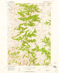
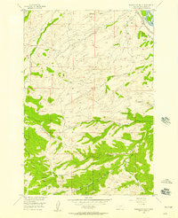
1957 Map of Lone Indian Butte
USGS Topo · Published 1958About this map
Lone Indian Butte and the surrounding high country of Sweet Grass County are mapped here as they appeared in the late 1950s. The landscape is defined by a series of prominent drainages and topographic landmarks, including the notable twin peaks of Squaw Teats and the headwaters of Sweet Grass Creek. This area was surveyed as part of a Department of the Interior program for the development of the Missouri River Basin, reflecting a period of active federal geographic study across the American West.
Find a feature on this map
15 named features on this map. Tap any name to fly to it.
Don’t see what you’re looking for? This feature index may not catch every label — zoom into the map to look around manually.
Map Details
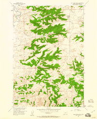
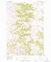
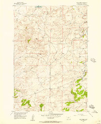
Editions of this 1957 Lone Indian Butte Map
4 editions found

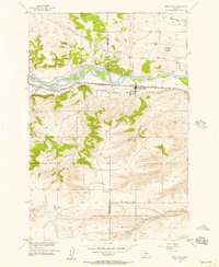
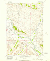
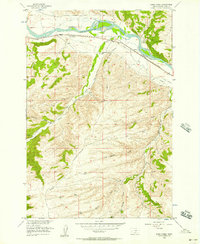
Other maps of this area

1891 · Big Timber
USGS Topo · 1:125,000

1893 · Big Timber
USGS Topo · 1:125,000
1954 · Ryan Creek
USGS Topo · 1:24,000

1954 · Billings
USGS Topo · 1:250,000
1955 · Packsaddle Butte
USGS Topo · 1:24,000
1955 · Reed Point
USGS Topo · 1:24,000
1955 · Greycliff
USGS Topo · 1:24,000

1955 · Stephens Hill
USGS Topo · 1:24,000
1956 · Work Creek
USGS Topo · 1:24,000

1957 · Billings
USGS Topo · 1:250,000