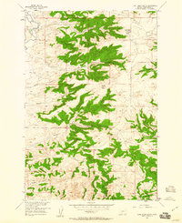
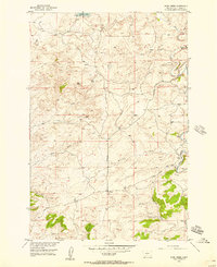
1957 Map of Lone Indian Butte
USGS Topo · Published 1960About this map
Sweet Grass Creek flows through a landscape of sharply defined drainages and high points in this late-1950s survey of Sweet Grass County. The topography is anchored by the prominent Lone Indian Butte and the twin peaks of Squaw Teats, rising above a series of deeply etched ravines including Norman Gulch and Barney Gulch. This map illustrates the rugged transition from lower creek beds to higher rimrocks, providing a clear view of how early ranching or travel routes likely navigated the terrain.
Find a feature on this map
15 named features on this map. Tap any name to fly to it.
Don’t see what you’re looking for? This feature index may not catch every label — zoom into the map to look around manually.
Map Details
Editions of this 1957 Lone Indian Butte Map
4 editions found
Other maps of this area

1891 · Big Timber
USGS Topo · 1:125,000

1893 · Big Timber
USGS Topo · 1:125,000
1954 · Ryan Creek
USGS Topo · 1:24,000

1954 · Billings
USGS Topo · 1:250,000

1955 · Packsaddle Butte
USGS Topo · 1:24,000

1955 · Reed Point
USGS Topo · 1:24,000

1955 · Greycliff
USGS Topo · 1:24,000

1955 · Stephens Hill
USGS Topo · 1:24,000
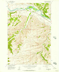
1956 · Work Creek
USGS Topo · 1:24,000

1957 · Billings
USGS Topo · 1:250,000