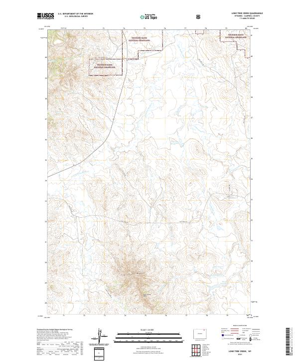
2021 Map of Lone Tree Creek
USGS Topo · Published 2021About this map
Thunder Basin National Grassland dominates the northern reaches of this Wyoming landscape, where the high plains are carved by the meandering Little Powder River and its seasonal tributaries. The topography is defined by significant erosional features such as the Cow Creek Breaks and the steep Cow Creek Wall, while the southern portion reveals a network of draws including Hell's Canyon Draw.
Find a feature on this map
25 named features on this map. Tap any name to fly to it.
Don’t see what you’re looking for? This feature index may not catch every label — zoom into the map to look around manually.
Map Details
Editions of this 2021 Lone Tree Creek Map
This is the sole edition of this map. No revisions or reprints were ever made.
Other maps of this area

1954 · Gillette
USGS Topo · 1:250,000

1955 · Gillette
USGS Topo · 1:250,000

1958 · Gillette
USGS Topo · 1:250,000

1962 · Gillette
USGS Topo · 1:250,000
1971 · Rozet NW
USGS Topo · 1:24,000

1971 · Green Hill
USGS Topo · 1:24,000
1971 · Moyer Springs
USGS Topo · 1:24,000
1972 · Oliver Draw
USGS Topo · 1:24,000
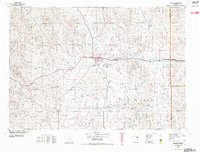
1972 · Gillette
USGS Topo · 1:100,000
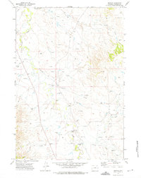
1972 · Weston
USGS Topo · 1:24,000