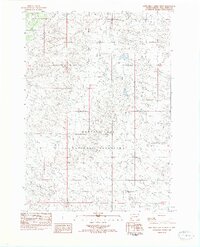
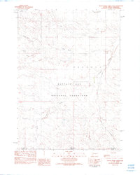
1982 Map of Lone Well Creek West
USGS Topo · Published 1982About this map
Buffalo Gap National Grassland dominates this section of the western South Dakota plains, captured here as it appeared in the late 1970s and early 1980s. The landscape is defined by an intricate network of intermittent drainages, with Lone Well Creek and Dry Creek winding through the central and northern reaches of the quadrangle. In the south, the terrain is carved by Ash Creek and Beef Creek, illustrating the characteristic erosion patterns of this open prairie environment. This provisional survey provides a detailed look at the township and range grid system across Fall River County, marking the transition between T 9 S T 10 S and T 10 S T 11 S. The absence of developed settlements highlights the area's role as a vast grazing territory and public conservation land during this era.
Find a feature on this map
8 named features on this map. Tap any name to fly to it.
Don’t see what you’re looking for? This feature index may not catch every label — zoom into the map to look around manually.
Map Details
Editions of this 1982 Lone Well Creek West Map
This is the sole edition of this map. No revisions or reprints were ever made.
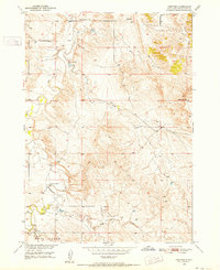
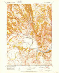
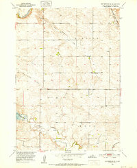
Other maps of this area

1896 · Oelrichs
USGS Topo · 1:125,000

1900 · Oelrichs
USGS Topo · 1:125,000

1902 · Edgemont
USGS Topo · 1:125,000
1950 · Heppner
USGS Topo · 1:24,000
1950 · Cascade Springs
USGS Topo · 1:24,000
1950 · Hot Springs SE
USGS Topo · 1:24,000
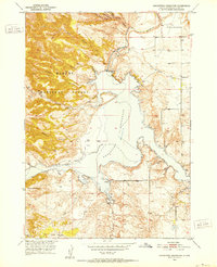
1950 · Angostura Reservoir
USGS Topo · 1:24,000

1955 · Hot Springs
USGS Topo · 1:250,000
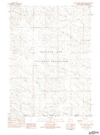
1982 · Black Banks Creek East
USGS Topo · 1:24,000
1982 · Black Banks Creek West
USGS Topo · 1:25,000