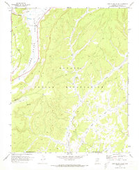
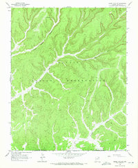
1971 Map of Long House Valley
USGS Topo · Published 1973About this map
Long House Valley serves as a central corridor for this high-desert landscape within the Navajo Indian Reservation during the early 1970s. The geography is defined by a series of narrow valleys and washes, including Yellow Water Canyon and Wild Ram Valley, which carve through the high plateaus. Cultural history is evident at the Long House Ruin in House Canyon, providing a link to the ancestral inhabitants of the region. Industrial development is focused on the southwestern reaches, where energy infrastructure like the Coal Mine, Coal Well, and Coal Mine Radio Towers sits adjacent to a Landing Strip. The map also traces the Navajo-Hopi Joint Use Area Bdy, marking a significant administrative boundary of the era. Dispersed resources like a Spring and a seasonal Well near Beda Tohie highlight the vital importance of water in this arid environment.
Find a feature on this map
22 named features on this map. Tap any name to fly to it.
Don’t see what you’re looking for? This feature index may not catch every label — zoom into the map to look around manually.
Map Details
Editions of this 1971 Long House Valley Map
3 editions found
Other maps of this area

1883 · Marsh Pass
USGS Topo · 1:250,000

1892 · Marsh Pass
USGS Topo · 1:250,000

1956 · Marble Canyon
USGS Topo · 1:250,000

1959 · Marble Canyon
USGS Topo · 1:250,000

1961 · Marble Canyon
USGS Topo · 1:250,000
1968 · Kayenta West
USGS Topo · 1:24,000

1968 · Marsh Pass
USGS Topo · 1:24,000

1968 · Yucca Hill
USGS Topo · 1:24,000
1968 · Marsh Pass SE
USGS Topo · 1:24,000

1970 · Shonto SE
USGS Topo · 1:24,000