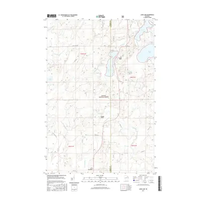
2015 Map of Long Lake
USGS Topo · Published 2015About this map
Nicolet National Forest dominates the landscape of this northern Wisconsin wilderness, where the boundary between Forest County and Florence County runs through a dense network of glacial lakes and river systems. The settlement of Newald sits in the southwestern portion of the map near Forest Home Cem, serving as a small hub amidst the timberland. Water defines the region's geography, with the Popple River and its tributary, the Little Popple River, winding through the forest floor while the northern edge is marked by the Pine River. Significant water bodies including Long Lake, Halsey Lake, and Fay Lake are connected by a series of outlets and sloughs, such as Halsey Lake Slough, which highlight the complex hydrology of the lake country. Local history is anchored by sites like Long Lake Cem near the eastern shore of its namesake lake.
Find a feature on this map
41 named features on this map. Tap any name to fly to it.
Don’t see what you’re looking for? This feature index may not catch every label — zoom into the map to look around manually.
Map Details
Editions of this 2015 Long Lake Map
This is the sole edition of this map. No revisions or reprints were ever made.
Other maps of this area

1938 · Alvin
USGS Topo · 1:48,000

1939 · Crandon
USGS Topo · 1:48,000

1939 · Laona
USGS Topo · 1:48,000

1939 · Long Lake
USGS Topo · 1:48,000

1941 · Crandon
USGS Topo · 1:48,000

1946 · Laona
USGS Topo · 1:48,000

1946 · Alvin
USGS Topo · 1:48,000

1947 · Crandon
USGS Topo · 1:48,000

1948 · Long Lake
USGS Topo · 1:48,000

1954 · Iron Mountain
USGS Topo · 1:250,000