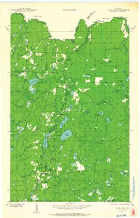
1970 Map of Long Lake
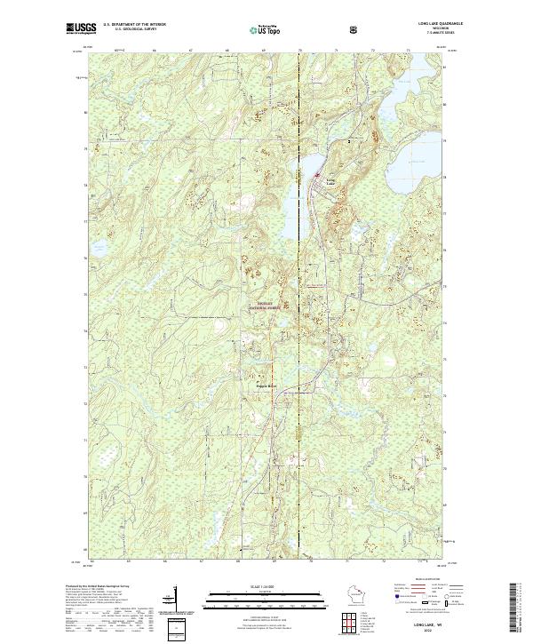
USGS Topo · Published 1988About this map
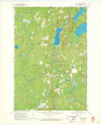
Nicolet National Forest dominates this landscape in northern Wisconsin, where the headwaters of the Pine River and Popple River weave through dense timber and glacial wetlands. The Chicago and North Western railway provides the primary industrial artery through the terrain, connecting the small settlement of Long Lake to the broader regional economy. Evidence of local administration and community life is found at the Townhall and the Long Lake Lookout Tower, which served as a critical vantage point for forest fire detection during this era.
Find a feature on this map
28 named features on this map. Tap any name to fly to it.
Don’t see what you’re looking for? This feature index may not catch every label — zoom into the map to look around manually.
Map Details
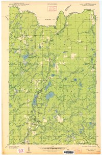
Editions of this 1970 Long Lake Map
2 editions found
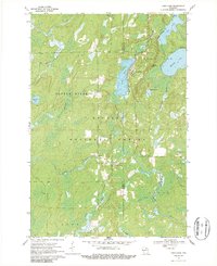
Historical Maps of Fence Through Time
4 maps found