
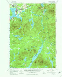
1955 Map of Long Lake
USGS Topo · Published 1957About this map
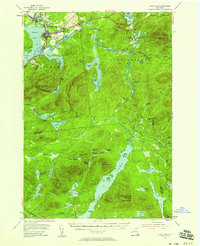
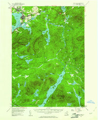
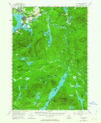
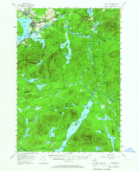
Tupper Lake and its surrounding Adirondack waterways define this mid-1950s landscape, centered on the village and the adjacent community of Faust. The area is characterized by a complex network of glacial ponds and the winding Raquette River, which connects Raquette Pond to Simon Pond. Institutional presence is notable at the Veterans Hospital and the community of Sunmount, while the local spiritual life is marked by St Alphonsus Ch and a secluded Chapel near Upper Saranac Lake. To the south and east, the map transitions into dense wilderness, punctuated by peaks like Kempshall Mountain and Mt Morris. The mapping of small, named settlements like Coreys and Moody alongside landmarks like the Island House provides a detailed look at the scattered human footprint within the larger forest preserve during this era.
Find a feature on this map
75 named features on this map. Tap any name to fly to it.
Don’t see what you’re looking for? This feature index may not catch every label — zoom into the map to look around manually.
Map Details
Editions of this 1955 Long Lake Map
6 editions found
Other maps of this area

1898 · Newcomb
USGS Topo · 1:62,500

1901 · Newcomb
USGS Topo · 1:62,500

1902 · Saranac
USGS Topo · 1:62,500

1903 · Raquette Lake
USGS Topo · 1:62,500

1903 · Blue Mountain
USGS Topo · 1:62,500

1904 · Saranac
USGS Topo · 1:62,500

1904 · Santanoni
USGS Topo · 1:62,500

1904 · Long Lake
USGS Topo · 1:62,500

1905 · Saint Regis
USGS Topo · 1:62,500

1907 · Tupper Lake
USGS Topo · 1:62,500