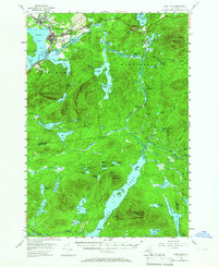
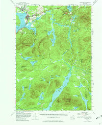
1955 Map of Long Lake
USGS Topo · Published 1965About this map
Tupper Lake and the winding Raquette River anchor this mid-century survey of the central Adirondacks. The settlement at Faust and the U S Veterans Hospital at Sunmount show the localized development of the era, contrasting with the surrounding high peaks and dense lake networks. A complex system of water and portage is evident at the Indian Carry, which connects Upper Saranac Lake toward the river valley, supported by the Indian Carry Chapel.
Find a feature on this map
82 named features on this map. Tap any name to fly to it.
Don’t see what you’re looking for? This feature index may not catch every label — zoom into the map to look around manually.
Map Details
Editions of this 1955 Long Lake Map
6 editions found

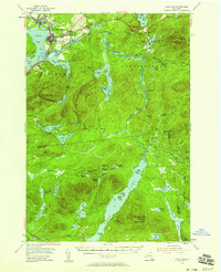
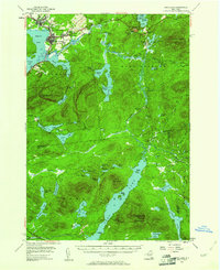
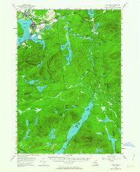
Other maps of this area

1898 · Newcomb
USGS Topo · 1:62,500

1901 · Newcomb
USGS Topo · 1:62,500

1902 · Saranac
USGS Topo · 1:62,500

1903 · Raquette Lake
USGS Topo · 1:62,500

1903 · Blue Mountain
USGS Topo · 1:62,500

1904 · Saranac
USGS Topo · 1:62,500

1904 · Santanoni
USGS Topo · 1:62,500

1904 · Long Lake
USGS Topo · 1:62,500

1905 · Saint Regis
USGS Topo · 1:62,500

1907 · Tupper Lake
USGS Topo · 1:62,500