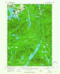
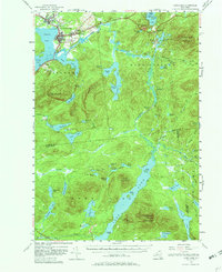
1955 Map of Long Lake
USGS Topo · Published 1964About this map
Tupper Lake and the neighboring settlements of Faust and Sunmount anchor the northern reaches of this mid-century Adirondack survey. The area is dominated by complex waterway networks, where the Raquette River winds between Raquette Pond, Simon Pond, and the expansive Follensby Pond. This map documents a specialized regional infrastructure, notably featuring the sprawling U S Veterans Hospital near Oxbow and the remote Island House situated on the shores of Long Lake. High peaks like Stony Creek Mountain and Kempshall Mountain rise above a dense system of smaller ponds, including the Anthony Ponds and Hedgehog Pond. The survey captures the landscape during a period of established lakeside communities and institutional presence, showing local landmarks such as St Alphonsus Ch and Lakeview Cem alongside the navigational points like Indian Carry Chapel near Coreys.
Find a feature on this map
79 named features on this map. Tap any name to fly to it.
Don’t see what you’re looking for? This feature index may not catch every label — zoom into the map to look around manually.
Map Details
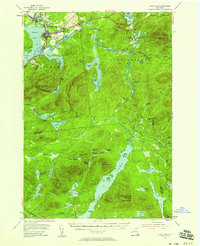
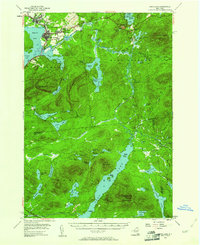
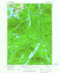
Editions of this 1955 Long Lake Map
6 editions found

Other maps of this area

1898 · Newcomb
USGS Topo · 1:62,500

1901 · Newcomb
USGS Topo · 1:62,500

1902 · Saranac
USGS Topo · 1:62,500

1903 · Raquette Lake
USGS Topo · 1:62,500

1903 · Blue Mountain
USGS Topo · 1:62,500

1904 · Saranac
USGS Topo · 1:62,500

1904 · Santanoni
USGS Topo · 1:62,500

1904 · Long Lake
USGS Topo · 1:62,500

1905 · Saint Regis
USGS Topo · 1:62,500

1907 · Tupper Lake
USGS Topo · 1:62,500