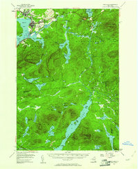
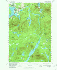
1955 Map of Long Lake
USGS Topo · Published 1961About this map
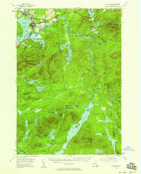
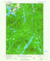
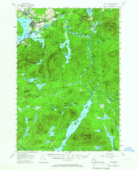
Tupper Lake and the village of Faust serve as the primary gateways to this Adirondack landscape, where the Raquette River winds through dense forests and vast wetlands. The presence of the large Veterans Hospital at Sunmount and the historic St Alphonsus Ch reflect the community's mid-century growth. Further south, the map details the transition into the deep wilderness of Harrietstown, anchored by the long, narrow waterway of Long Lake and the storied Indian Carry route.
Find a feature on this map
76 named features on this map. Tap any name to fly to it.
Don’t see what you’re looking for? This feature index may not catch every label — zoom into the map to look around manually.
Map Details
Editions of this 1955 Long Lake Map
6 editions found

Other maps of this area

1898 · Newcomb
USGS Topo · 1:62,500

1901 · Newcomb
USGS Topo · 1:62,500

1902 · Saranac
USGS Topo · 1:62,500

1903 · Raquette Lake
USGS Topo · 1:62,500

1903 · Blue Mountain
USGS Topo · 1:62,500

1904 · Saranac
USGS Topo · 1:62,500

1904 · Santanoni
USGS Topo · 1:62,500

1904 · Long Lake
USGS Topo · 1:62,500

1905 · Saint Regis
USGS Topo · 1:62,500

1907 · Tupper Lake
USGS Topo · 1:62,500