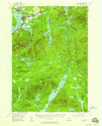
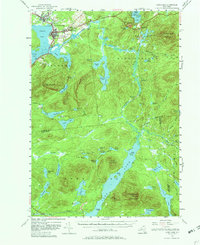
1955 Map of Long Lake
USGS Topo · Published 1958About this map
Tupper Lake and the Raquette River anchor this mid-century survey of the Adirondack interior, where logging and transport networks intersect with established medical and religious sites. The settlement of Sunmount is dominated by the sprawling Veterans Hospital, while the nearby communities of Faust and Moody reflect the era's local growth. Water dominates the landscape, from the wide expanse of Long Lake in the south to the intricate chain of the Anthony Ponds and Follensby Pond.
Find a feature on this map
79 named features on this map. Tap any name to fly to it.
Don’t see what you’re looking for? This feature index may not catch every label — zoom into the map to look around manually.
Map Details
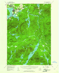
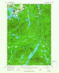
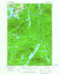
Editions of this 1955 Long Lake Map
6 editions found

Other maps of this area

1898 · Newcomb
USGS Topo · 1:62,500

1901 · Newcomb
USGS Topo · 1:62,500

1902 · Saranac
USGS Topo · 1:62,500

1903 · Raquette Lake
USGS Topo · 1:62,500

1903 · Blue Mountain
USGS Topo · 1:62,500

1904 · Saranac
USGS Topo · 1:62,500

1904 · Santanoni
USGS Topo · 1:62,500

1904 · Long Lake
USGS Topo · 1:62,500

1905 · Saint Regis
USGS Topo · 1:62,500

1907 · Tupper Lake
USGS Topo · 1:62,500